
Route 3D
A red route line over 3D terrain
Turn one travel route across a country (2 to 12 stops) into a 60-150 second horizontal film (1920x1080) that flies over real 3D terrain along a glowing red line.
Important: this is a skill for terminal AI coding agents (Claude Code, Codex) that runs on your own computer. It is not a prompt for the ChatGPT website. Check the requirements below before buying.
What it makes
A north-to-south trip, a road, a pilgrimage: you give the stops in travel order and the agent builds one continuous camera move over a real elevation model, with contour lines and borders. A red route line draws itself from stop to stop.
At every stop:
- An arrival ripple and a pin.
- A card with the place name, province and best season.
- A one-line caption that types in as the camera arrives.
- 1 to 4 photos from Wikimedia Commons that grow out of the dot, slide past with a credit line and shrink back.
The film opens on a title shot and ends on a pull-back over the whole route. Its length is computed from the number of stops and photos.
How it works
Open your agent and describe the route, for example:
Make a route-3d film: Hà Nội, Ninh Bình, Huế, Hội An, Đà Lạt, in Vietnamese, synth musicThe agent checks each stop's coordinates instead of guessing, downloads terrain, borders and photos, and shows you stills for your approval before it renders the MP4.
Rules built into the kit
- Free-licence photos only (CC BY, CC BY-SA, CC0, public domain). The fetch script refuses anything else, and credited photos show their credit on screen.
- Vietnam map rule: every film of Vietnam outlines and labels Quần đảo Hoàng Sa (Việt Nam) and Quần đảo Trường Sa (Việt Nam) on the title shot and the closing pull-back. The checks fail the film otherwise.
- Province names on Vietnamese cards follow the 2025 merger of provinces; where an old province no longer exists, the card shows the new name with the old one in brackets.
- Honest text: season lines are general month ranges and carry a "may change by year" note. No prices, events or opening hours.
What you get
- A 16:9 MP4 at 1920x1080.
- A
CREDITS.txtfile to paste into your post description: photo credits, borders, terrain. - Text in Vietnamese by default, or another language.
What you need
- Claude Code or Codex, able to run the skill's Node.js and Python scripts.
- Python 3.10 or newer with
pillowandpyshp, ffmpeg, and an internet connection for terrain, borders and photos. - Your own music file, or the built-in synth bed.
Install
~/.claude/skills/agentvid-travel-route-3d-16x9/For Codex, use ~/.agents/skills/agentvid-travel-route-3d-16x9/.
Who it is for
Travel creators who want one route across a country as a map film.
Not a fit if you want
- A 9:16 vertical clip.
- A vehicle driving along a real road.
- People, moving footage, or a narrated video: the engine has no voice or caption track.
Frequently asked questions
Does it work for countries other than Vietnam?
Yes. You set the country and the stops, and the terrain, borders and highlight follow. Areas that must be marked on another country's map are defined by you.
Can I use the videos commercially?
Videos you render are yours for any commercial use. You may not resell, redistribute or share the skill files. Keep the photo credits from CREDITS.txt with your post.
More looks from Animated Explainer
Full set: Animated Explainer
14 looks

Agent diagram
One AI concept on a living node diagram
AI for Business Explainer
Explain AI agents to business owners in a 60-90 s vertical video

Big canvas mind map
A big hand-drawn mind map with the camera following each branch
 Included in ReelCrew
Cinematic explainer
A cinematic science explainer of about 30 seconds
E-commerce & Retail Explainer
Selling online, profit per order and shop tips as vertical explainers
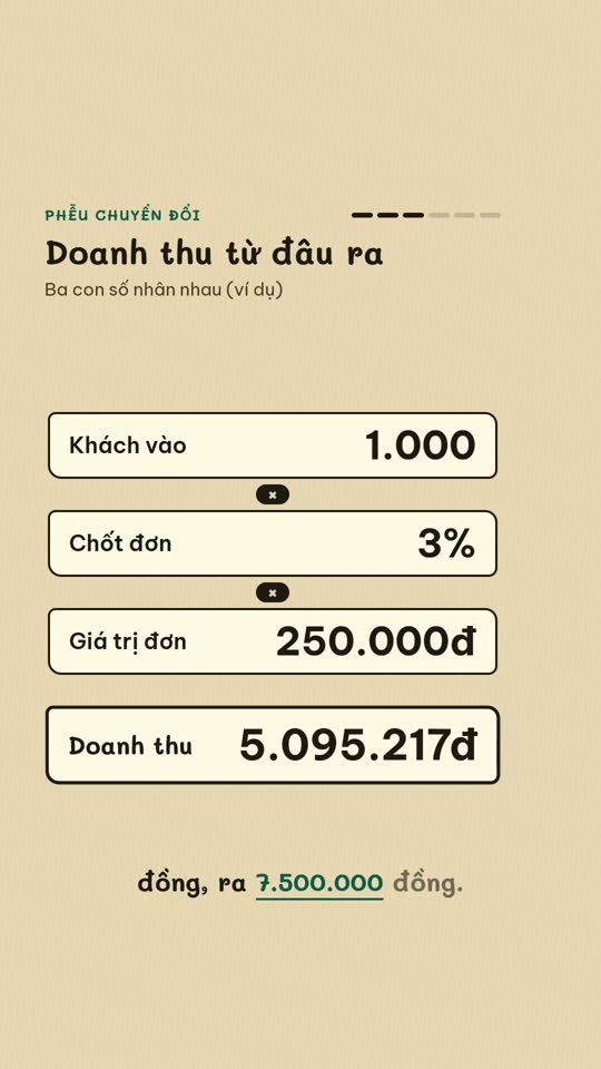
E-commerce diagram
An online-selling concept on a single diagram board
English Learning Explainer
Short English lessons built from common mistakes
Start with one look, step up when you need more
Related looks

English listening
English listening practice: reader, vocab, guess and joke formats

Excel setting
One Excel setting, with a cursor clicking through each value
Sourced clip short
A multi-scene short with source clips and an on-screen credit
 Included in ReelCrew
Archival documentary
An 8-10 minute documentary built from archive material
 Included in ReelCrew
Engraved plate
An antique engraving film for philosophy and history
 Included in ReelCrew
Hand-drawn lesson
A 3-4 minute hand-drawn animated lesson from a talk
 Included in ReelCrew
News photo short
Breaking news told with press photos and a female news anchor voice
 Included in ReelCrew
Paper 3Blue1Brown
Explain a paper 3Blue1Brown style, with formulas built to the narration